|
Page 7 |
|||||
|
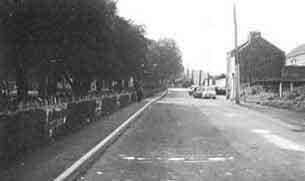
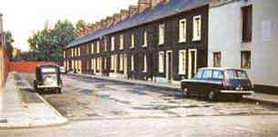
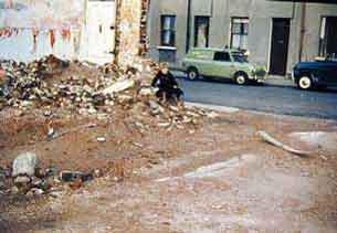
Charles Street, better know as 'Charlie's Walls' On the left was a row of terrace stone cottages, known as Dawsons Row. You will notice on the wall at intervals the stone has whitish marks, these were the door entrances to the each house, the row was demolished leaving about four foot of stone, the doorways were then filled in using the old stone. Some family names in this area were, Spence, Conn. Bullick, Doak and ??? |
The only pic we have of part of the row of houses in Charles Street. On another section of our site we have a page dedicated to this area, Dawson's estate. |
||||
|
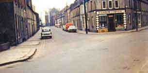
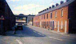
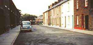
View from Thomas Street into William Street. St. Patrick's Church (out of view) is inset on the left |
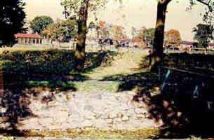
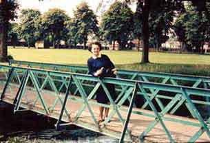
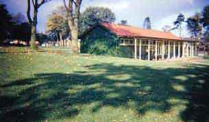
Public Park
Mrs. Ruth Webb on one of the
bridges in the Public Park. The Pavilion in the Public
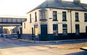
Park. Corner
of Park Road/Garvaghy Road. Water Street, opposite Park
Road. Extreme left was the boundary with Atchison's Linen Factory now occupied
by Ulster Carpet Mills. | ||||

 s
s